Imagine sipping coffee on your back deck as dolphins surface in the Indian River Lagoon and a rocket arcs into the sky. If you crave a daily rhythm shaped by water, wildlife and launch-day buzz, Merritt Island delivers. In this guide, you’ll learn how boating works here, where to find wild beaches and refuges, what launch-view culture looks like and what to consider when buying a waterfront home. Let’s dive in.
Why Merritt Island fits a water lifestyle
Merritt Island sits between the Indian River Lagoon and the Banana River, with Port Canaveral and the Atlantic just across the causeway. The island’s miles of shoreline, canals and coves make boating, fishing and paddling part of everyday life. You’ll also find a unique blend of aerospace, marine and tourism activity that shapes the pace of the community.
Summer is hot with afternoon storms, while winter is mild and popular with seasonal residents. Hurricane season runs from June 1 through November 30, so storm readiness and flood awareness are part of normal planning.
Boating access: ramps, marinas and routes
You’ll find a mix of public boat ramps, private marinas and launch options across Merritt Island and nearby communities. For current ramp locations, fees and hours, check Brevard County Parks & Recreation. If you need larger slips or transient dockage, explore marina options at Port Canaveral before you book.
Everyday boating includes inshore fishing, flats skiff runs, paddle routes and sailing. You can also access nearshore waters through Port Canaveral, depending on your vessel and conditions. Typical targets include redfish, snook, trout and tarpon, and you may spot manatees or dolphins while underway.
Practical boating checks before you buy
- Confirm water depth at mean low tide for your dock or canal.
- Map your route to open water, including any fixed-bridge clearances.
- Inspect the seawall and dock condition; ask for permits for existing structures.
- Review any HOA rules for slips, lifts and community docks.
- Ask about allowed boat sizes and whether dredging or major work needs approvals.
Safe, smart boating on the lagoon
Manatee protection and posted speed zones are common across the lagoon. Review current rules through the Florida Fish and Wildlife Conservation Commission. Always check tides, currents and weather, especially during storm season; the NOAA Tides & Currents site is a reliable planning tool.
Keep required safety gear on board and follow marked channels. You can learn more about equipment and safe-operation basics from the U.S. Coast Guard Boating Safety resource center.
Nature on your doorstep
Merritt Island is surrounded by protected lands that shape the outdoor experience. The Merritt Island National Wildlife Refuge offers marshes, coastal scrub and managed impoundments known for birding, wildlife viewing and paddling. Expect rich birdlife, seasonal migrations and frequent wildlife sightings along scenic drives and trails.
For undeveloped Atlantic beaches and dunes, head to Canaveral National Seashore. It’s a favorite for quiet beach days, nature walks and, when permitted, rocket-launch viewing. Always follow posted closures and seasonal guidance to protect nesting shorebirds and sea turtles.
Space Coast launch views
From waterfront parks to beach overlooks, launches from Kennedy Space Center and Cape Canaveral are often visible from Merritt Island. Sightlines vary depending on launch path and weather, so locals watch the schedule and pick their spots early. Keep tabs on dates and updates with the official NASA launch schedule.
On high-profile launch days, expect heavier traffic, earlier park arrivals and occasional access restrictions near beaches or causeways. Follow posted advisories and any safety zones issued by local agencies.
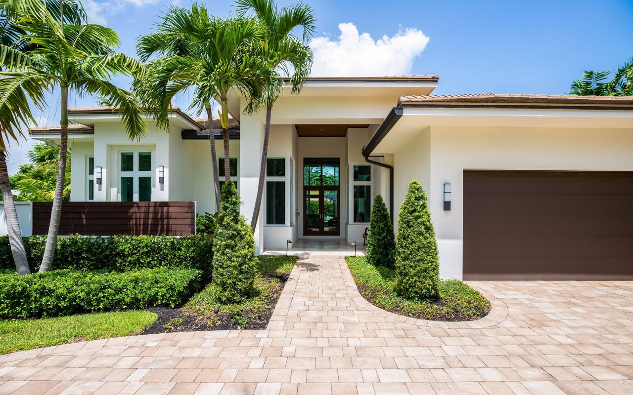
Buying a waterfront home here
Merritt Island offers single-family waterfront homes, canal-front properties with private docks, and condominiums with community marinas. If you’re evaluating a boating-focused home, prioritize water depth, bridge clearances and dock condition. Ask for maintenance records and any permits for docks, lifts or seawalls.
Flood risk and storm resilience are key due diligence items. Check a property’s flood zone using FEMA’s Map Service Center and plan to get insurance quotes early. For official flood maps, use the FEMA Flood Map Service Center.
Permitting for new docks, seawalls or dredging can involve county, state and sometimes federal reviews. Start with the Florida Department of Environmental Protection to understand current standards and authorizations. Visit the Florida Department of Environmental Protection for guidance and links to permitting resources.
Utility and neighborhood details also matter. Confirm sewer versus septic, internet options and road maintenance. If there’s an HOA, review covenants covering docks, slip assignments, exterior standards and any short-term rental policies.
Quick checklist for touring waterfront homes
- Water depth and access
- Mean low-water depth at the dock or canal
- Any shoaling along the route and bridge clearances
- Shoreline structures
- Seawall and dock condition, materials and age
- Permit history for existing structures and lifts
- Property and neighborhood rules
- HOA covenants, slip policies and boat-size limits
- Short-term rental restrictions if relevant to your plan
- Risk and insurance
- Flood zone designation and prior storm impacts
- Quotes for flood, wind and hurricane coverage
- Daily practicality
- Nearest public ramp or marina and travel times
- Utility setup: sewer or septic, water, power and internet
Life logistics and seasons
Daily life revolves around water access, quick trips to marinas and regular visits to nearby beaches. During hurricane season, you’ll want a simple readiness plan that includes boat storage or tie-up steps, storm supplies and a clear insurance file. For tides and marine weather, rely on NOAA Tides & Currents, and check local advisories when systems develop.
How we help you find the right fit
Choosing the right waterfront home is equal parts lifestyle and logistics. You need clarity on docks, permits, flood zones and insurance, plus a confident plan for value and presentation. That’s where our boutique, design-led approach makes a difference. We pair deep neighborhood knowledge with hands-on guidance, from due diligence through polished staging and premium marketing when you’re ready to sell.
If you’re considering Merritt Island or anywhere on the Space Coast, connect with LGN Group - Ann LeNoir & Jenny Shupard. We’ll map your boating goals to the right property, navigate the fine print and create a smooth, well-managed experience from first showing to closing.
FAQs
What boats work best for Merritt Island’s waterways?
- Shallow-draft skiffs, bay boats and center consoles are common for lagoon runs, while larger vessels typically use marina slips and access nearshore waters via Port Canaveral.
Where can you find public boat ramps near Merritt Island?
- Check Brevard County Parks & Recreation for current ramp maps, fees and hours, and confirm parking on busy weekends and launch days.
How do you watch rocket launches from Merritt Island?
- Pick waterfront parks, beaches or causeway overlooks, arrive early and track the NASA launch schedule for timing and updates.
Do Merritt Island waterfront buyers need flood insurance?
- If a lender determines the home is in a Special Flood Hazard Area, flood insurance is typically required; many buyers purchase it anyway due to coastal risk—verify at the FEMA Flood Map Service Center.
What permits apply to docks or seawalls?
- Work may require county approvals and state reviews; start with the Florida Department of Environmental Protection and consult local rules before planning new construction or major repairs.